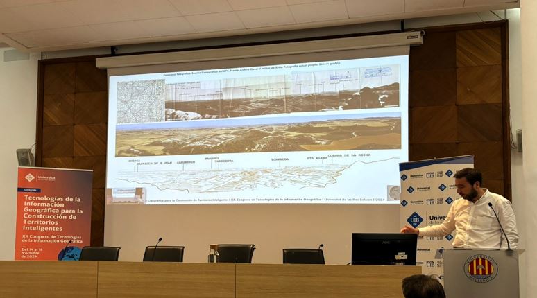
As part of the Congress on Geographic Information Technologies, organized by the University of the Balearic Islands, held in Palma de Mallorca on October 14th, 15th, and 16th, 2024, our colleagues Lourdes Pérez, Ana Ruiz, Rubén Cajo, Rafael Temes, and Santiago Elía were selected to present their oral communications titled “Design of Visualization and Traffic Data Modeling Tools for Informed Decision-Making” and “GIS Applied to Landscape Views during the Spanish Civil War on the Northern Aragón Front”.
We have participated in the 20th Congress on Geographic Information Technologies.